
USGS Groundwater Analysis in R
Following the decommissioning of Groundwater Watch, the USGS lacked a user-friendly map interface to view current groundwater conditions. I was asked to develop an R Shiny app that could act as a stop-gap to allow users to view and interact with groundwater data while a new enterprise-level web application was being developed.
Shiny Application
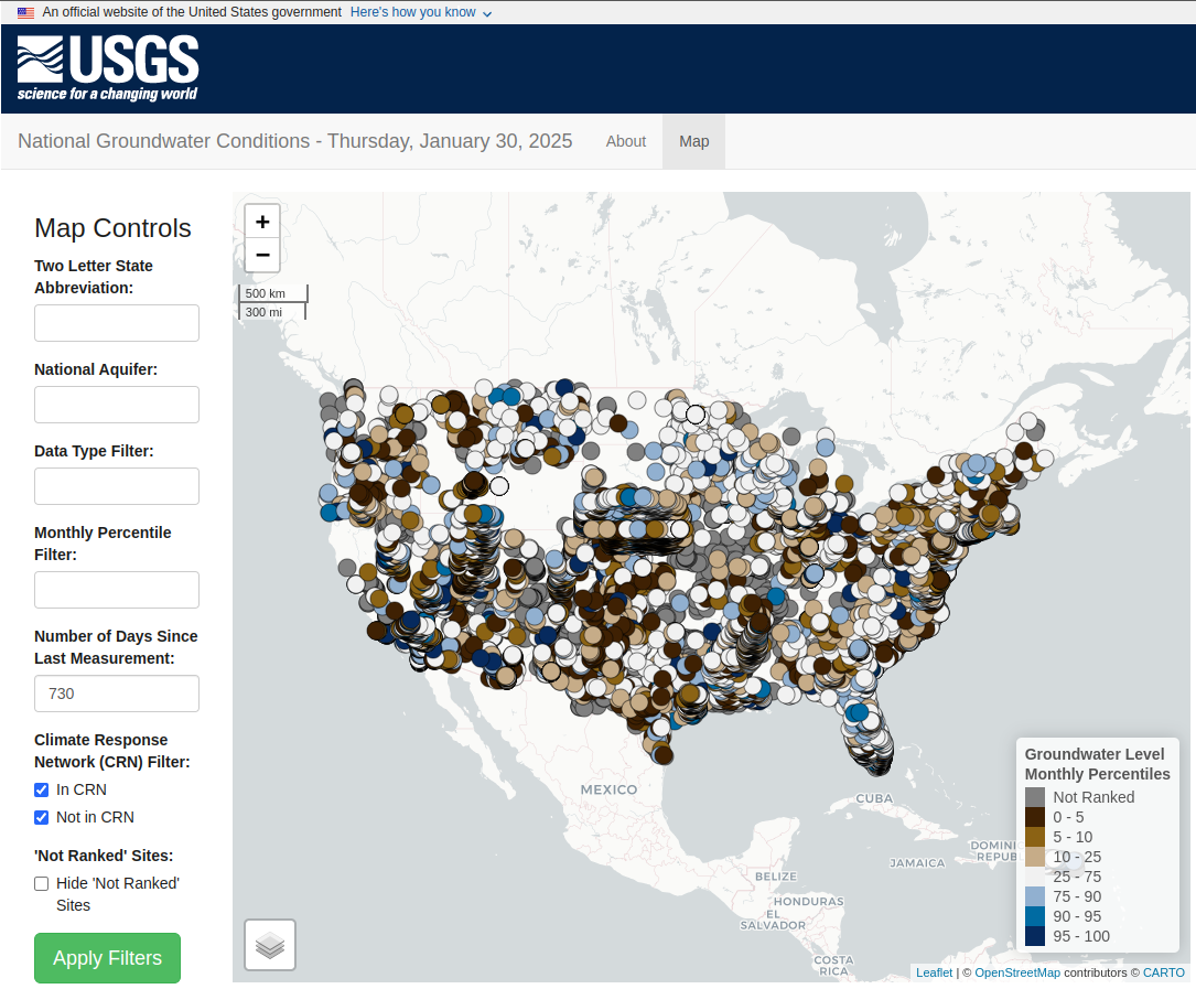
The Shiny app (fashioned as an R package, gwatlas2) can be accessed here. This map makes use of a number of other computational and visualization tools to calculate the groundwater statistics and visualize the site-level data.
 |
|---|
| Screenshot of the gwatlas2 Shiny app. |
For the “Climate Response Network” (CRN) I was asked to create a similar application that could be used to view the CRN groundwater sites specifically (source code).
Computational Methods
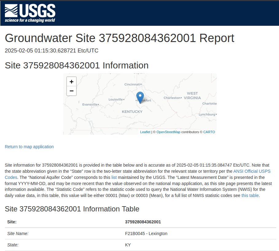
To calculate the basic, national-level statistics for each site, I developed the precompute R package which is run on a daily basis to precompute the statistics for all of the groundwater sites. When a user clicks on a site to view more detailed information, data is fetched on the fly using the R dataRetrieval package, that data is then processed using the R HASP package.
 |
|---|
| Example of a single groundwater site page. |
Deployment Strategy
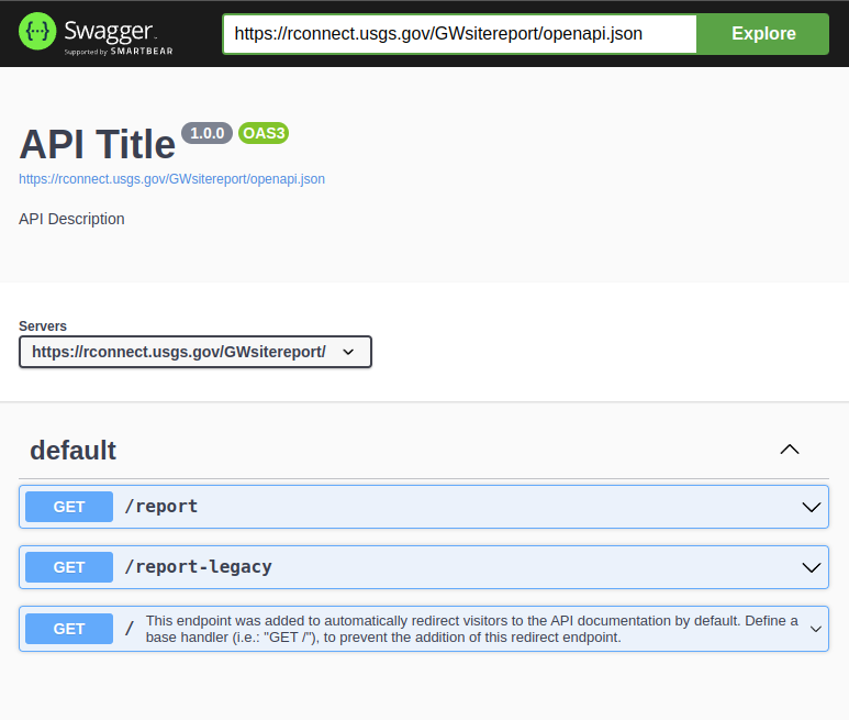
While the enterprise-level solution is being developed, the Shiny application is currently deployed via Posit Connect. The individual site pages themselves are actually generated via an R plumber Swagger API that I wrote and deployed via Posit Connect.
 |
|---|
| The site page Swagger API page. |
To help others create similar groundwater monitoring applications, I also created a “regionaldemo” R package that includes setup instructions and customization information.